Instructor rating – Become an Accredited Instructor
Get Your Instructor Drone Rating and take your drone career to new heights. Lead the New Generation of Pilots.
Instructor Drone Rating Modules
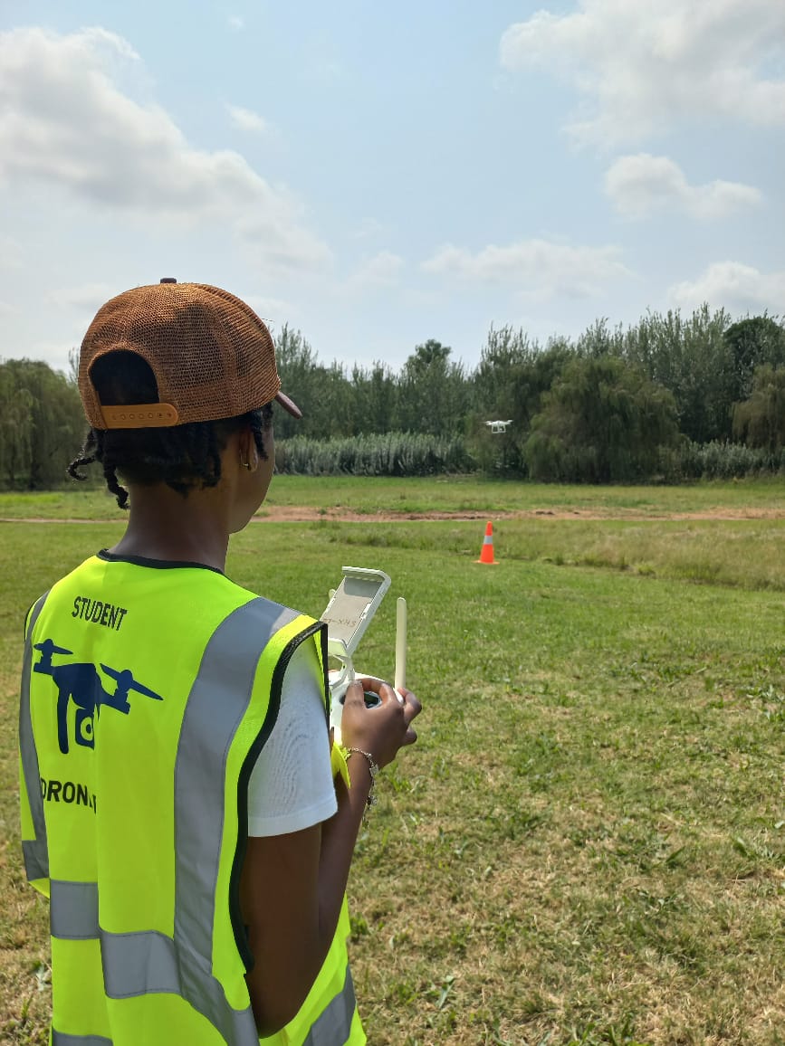
- Instructional Techniques & Adult Learning Theory
- SACAA Training Standards & Compliance
- Ground School Delivery & Student Assessment
- Safety Management & ATO Responsibilities
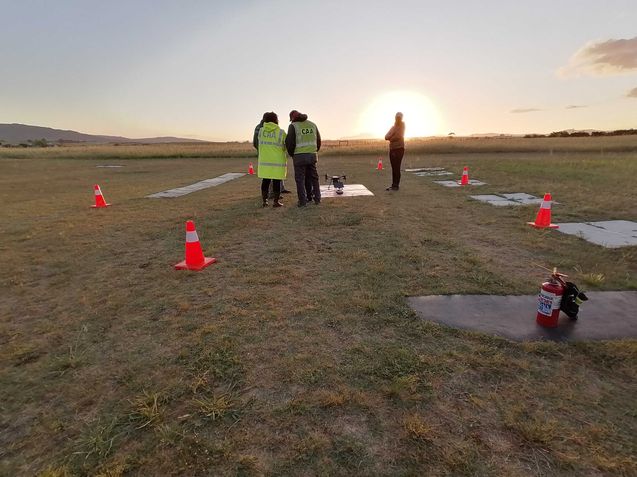
- Instructor Flight Check with Designated Examiner
- Final Recommendation Report for SACAA Submission
Entry Requirements
- Valid SACAA RPL
- Proven flight hours (typically 50+ recommended)
- Teaching aptitude or prior instruction experience preferred
- Medical Class 3 or 4
- Affiliation with ATO or ROC holder

Course Duration
Customized per candidate
Course Outcome
Instructor Rating Certificate + Endorsement Letter for ATO/ROC usage
DJI Terra
DJI Terra is 3D modeling software equipped with next-generation reconstruction technologies, including 3D Gaussian Splatting. It supports accurate and efficient 2D and 3D reconstruction from visible light imagery, and processes data collected by DJI LiDAR. When integrated with DJI drones, Terra delivers a unified hardware and software solution for data acquisition, processing, and application, streamlining aerial surveying workflows for greater efficiency and accuracy.
