GEOSPATIAL Drone Solutions – Safe, Compliant, Data-Driven
Our Geospatial Drone Solutions delivers specialized drone solutions tailored for the surveying, mining, agriculture and construction sector
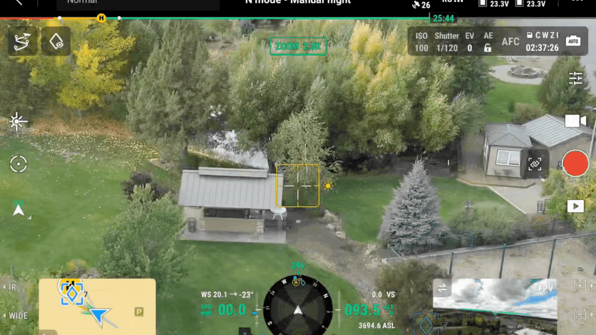
Our Geospatial Drone Solutions
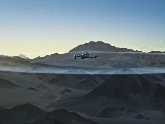
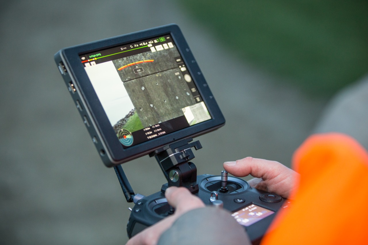
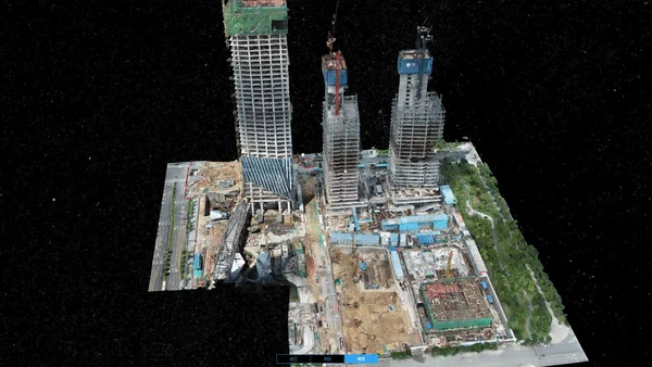
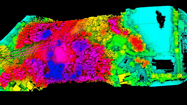
Drone-Based Surveying and Mapping
Generate accurate orthomosaics, digital elevation models, and 3D maps of mining sites.
- Pre-stripping planning
- Volume calculations (stockpiles, dumps)
- Progress monitoring
- Change detection
Blast Monitoring and Safety Management
Observe, analyse and document blasting operations from a safe distance.
- High-speed video capture
- Thermal imaging
- Real-time visual verification
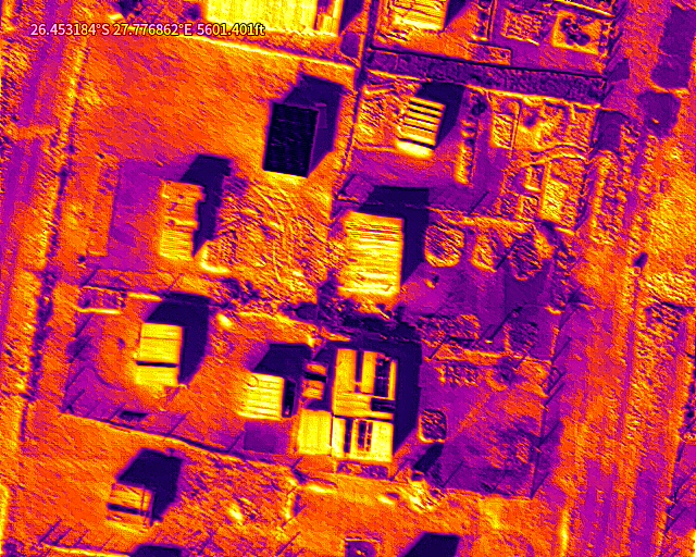
Environmental and Compliance Monitoring
Support environmental management plans with drone-collected data.
- Dust and water runoff inspections
- Vegetation encroachment
- Slope stability checks
- Audit-ready documentation
Infrastructure Inspection and Monitoring
Identify defects or deterioration in mining infrastructure before they become critical.
- Conveyor belts, shafts, cranes, towers
- Haul road inspection
- High-res, zoom-enabled payloads
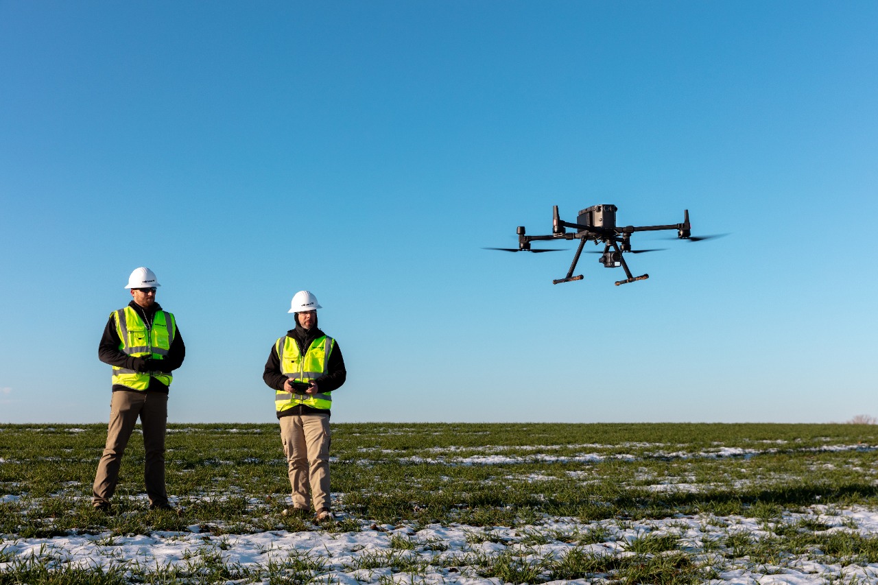
Custom Integration and Training
We supply, train, and integrate drone programmes into your site workflows.
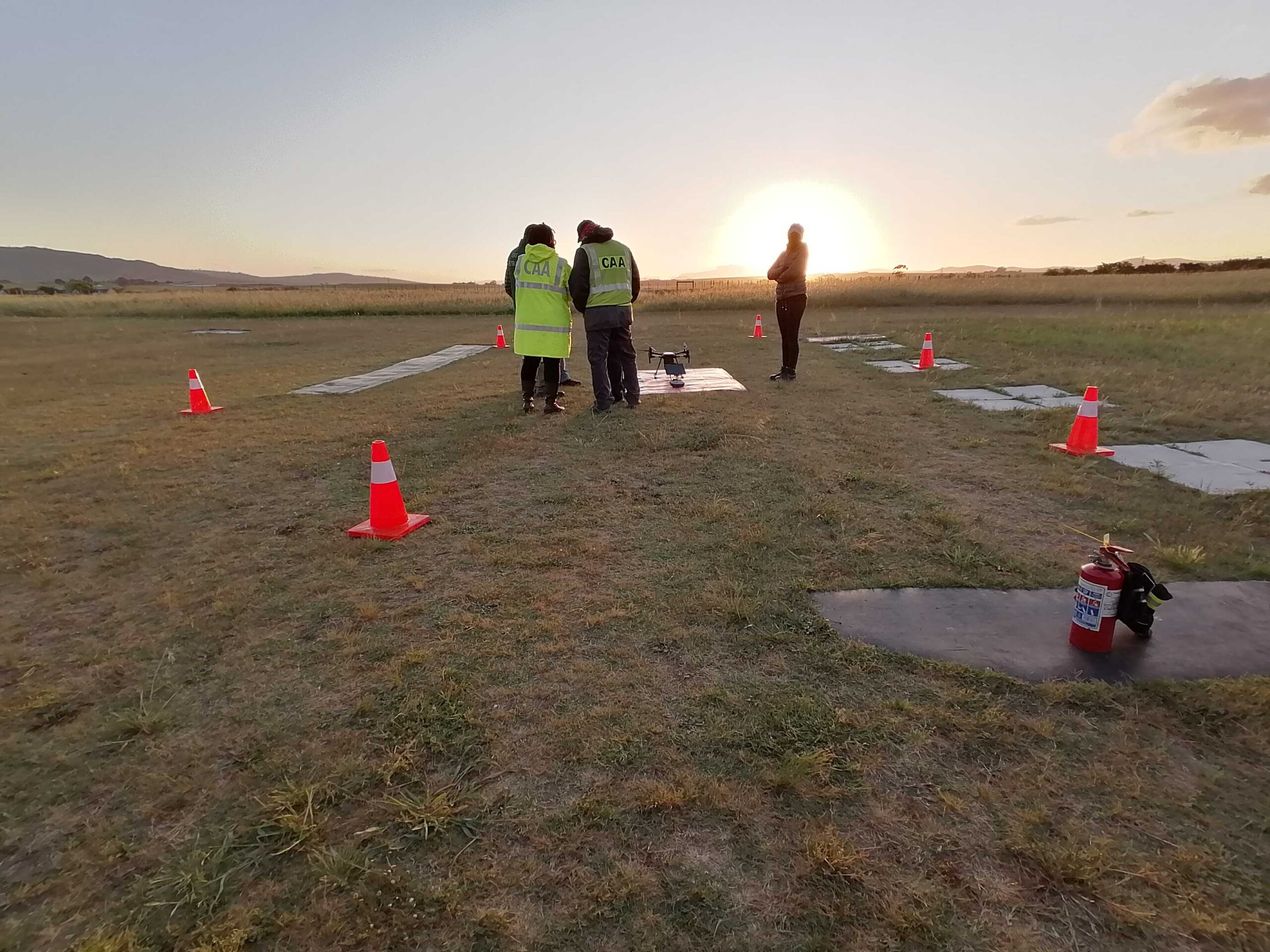
- ROC/ASL compliance services
- Pilot training (RPL, BVLOS, UASMT)
- DJI & MMC drone equipment
- Project scoping and SOP development
Why Use Drone in Geospatial Services
- Reduce on-site risk and exposure
- Accelerate survey and inspection timelines
- Improve data accuracy for planning and reporting
- Comply with environmental and safety regulations
- Cut operational costs and delays
Why Work with Ntsu Aviation
- SACAA Part 101 Specialists
- Deep mining sector experience
- Full-service partner: compliance, training, hardware, consulting
- Authorized reseller of DJI, MMC and CZI industrial drones
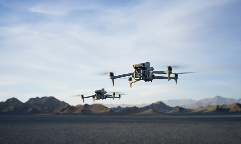
Drones

- DJI Matrice 400 RTK
- DJI Matrice 350 RTK
- DJI Mavic 3E
- DJI Mavic 3M for Agriculture
Payloads

- DJI Zemuse P1
- DJI Zenmuse L2/L1
Software

- DJI Pilot 2
- DJI Terra
dji drones
and payload